3D Surveying And Mapping
2021-05-18 16:27:19
146
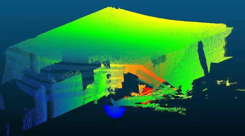
With the development of lidar technology, lidar mainly uses the principle of laser ranging to obtain target data, quickly reflects the overall structure and morphological characteristics of the scanned object, and is widely used in basic surveying and mapping, 3D modeling, forestry, mining, docks, etc., Including the volume of coal, measuring the volume of wood, etc.
This non-contact measurement can quickly and efficiently obtain the coordinate information of a point, and provide fast and accurate basic data for the surveying results. The application of laser mines not only saves a lot of labor, but also greatly improves work efficiency.

